
WHY US?
SATNMR’s advanced magnetic resonance system pinpoints subsurface water, oil, gas, and metals, showing exactly where they are, and where they’re not.
DRILL SMARTER
PRODUCTSTECHNOLOGYSUSTAINABILITY
WHY US?
SATNMR’s advanced magnetic resonance system pinpoints subsurface water, oil, gas, and metals, showing exactly where they are, and where they’re not.
DRILL SMARTER
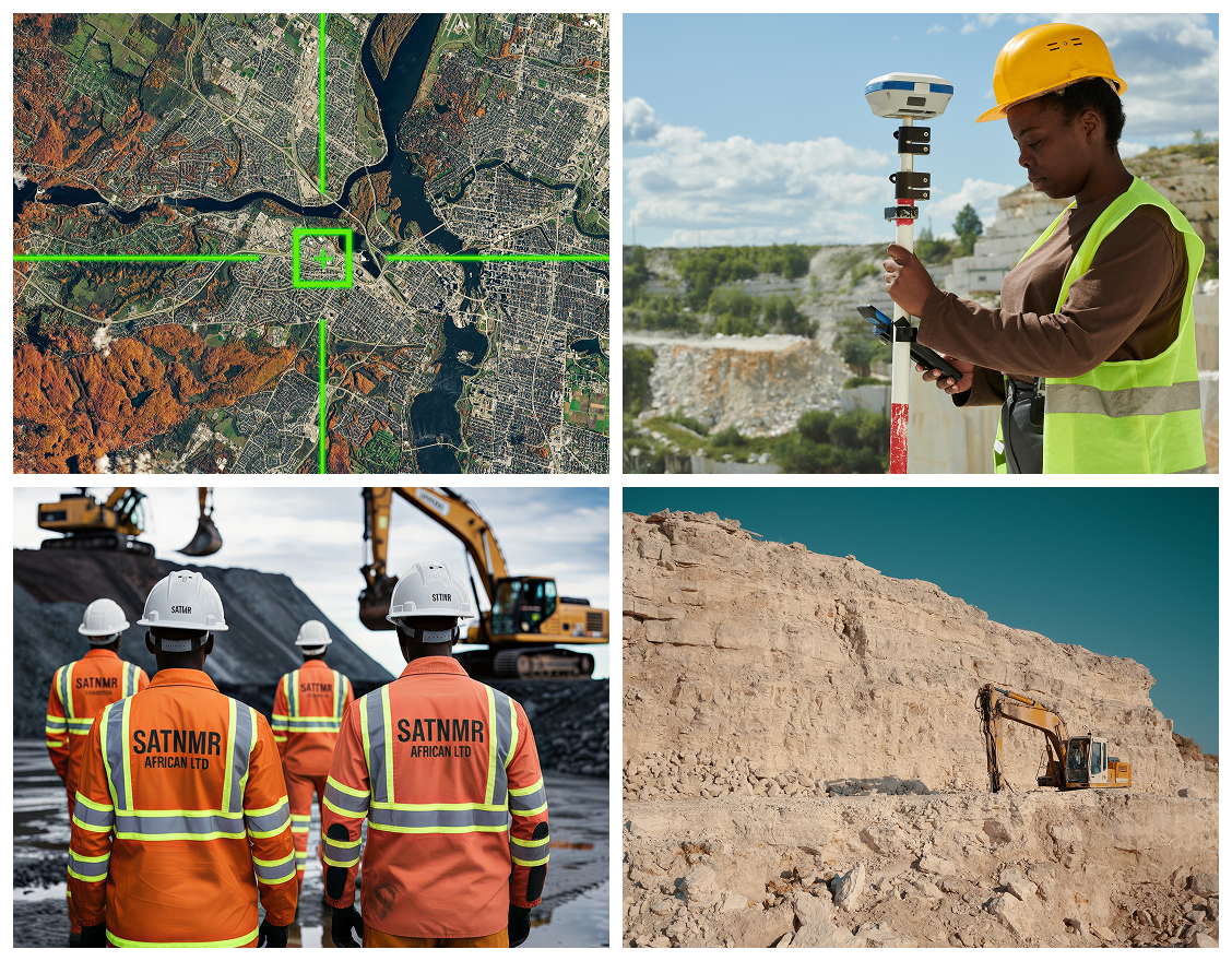
SATNMR delivers precise mineral exploration using proprietary satellite technology powered by Nuclear Magnetic Resonance and hyperspectral remote sensing. Our satellite can be directed to any Area of Interest, probing up to 50 meters beneath the Earth to reveal vital resource data-bringing clarity, speed, and accuracy to exploration across Africa.
We collaborate with technology-desirous clients who aim to shape the future rather than follow it.
SATNMR African Limited is at the vanguard of solid mineral exploration across Africa, leveraging Nuclear Magnetic Resonance Technology (NMRT) integrated with hyperspectral satellite remote sensing, Geo-spatial analysis, and advanced data analytics. Our proprietary satellite systems are tasked to specific areas of interest to detect mineral and fluid signatures up to 50 meters below the surface. We deliver precise, actionable subsurface intelligence for governments, mining companies, oil and gas operators, engineers, and agro-industries.
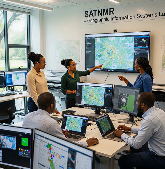
By integrating NMRT-derived subsurface data with regional satellite imagery, GIS decision platforms, and predictive modeling, we provide high-fidelity, decision-ready outputs that reduce uncertainty and operational costs.
Rooted in local expertise and strengthened by global innovation, SATNMR drives smarter, faster, precise and more sustainable exploration-without the need for blind and destructive drilling. Our process transforms raw geophysical measurements into meaningful discoveries, empowering clients with operational clarity and supporting resource development that promotes both economic growth and environmental responsibility.
Our Nuclear Magnetic Resonance (NMR) provides smart, precise indications of subsurface mineralization-up to 50 meters below the Earth's surface-eliminating uncertainty.
With hyperspectral satellite imaging and remote surveys, we rapidly map mineral signatures across vast regions with limited or no access, targeting specific Areas of Interest with accuracy.
Anomalies are mapped, priorities ranked, and optimal drilling or development zones identified-all seamlessly visualized through GIS dashboards for actionable clarity.
From orbit to 50 meters below the surface, SATNMR delivers precision insights that turn exploration into certainty
Scan wide, spot hidden opportunities-no terrain too remote.
Fuse satellite, NMR, and local data for ranked targets.
Deliver drill-ready maps with depth and risk at a glance.
Turn insights into rapid, confident decisions.

“SATNMR African Limited harnesses NMR and hyperspectral satellite sensing to unlock resources with precision - enabling smarter, safer, and sustainable exploration.
I want to talk to your experts in:
We work with ambitious leaders who want to define the future, not hide from it. Together, we achieve extraordinary outcomes.
3rd Floor, Abia House, Plot 177 Ahmadu Bello Way, Central Business District, Abuja - FCT- Nigeria