
Africa's Next Generation Exploration Begins Here
SATNMR At
A Glance
SATNMR At A Glance
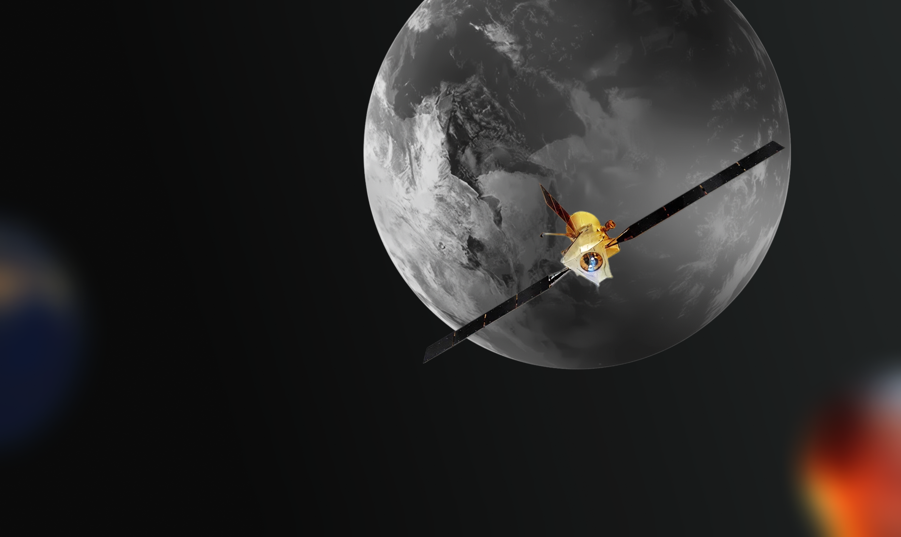
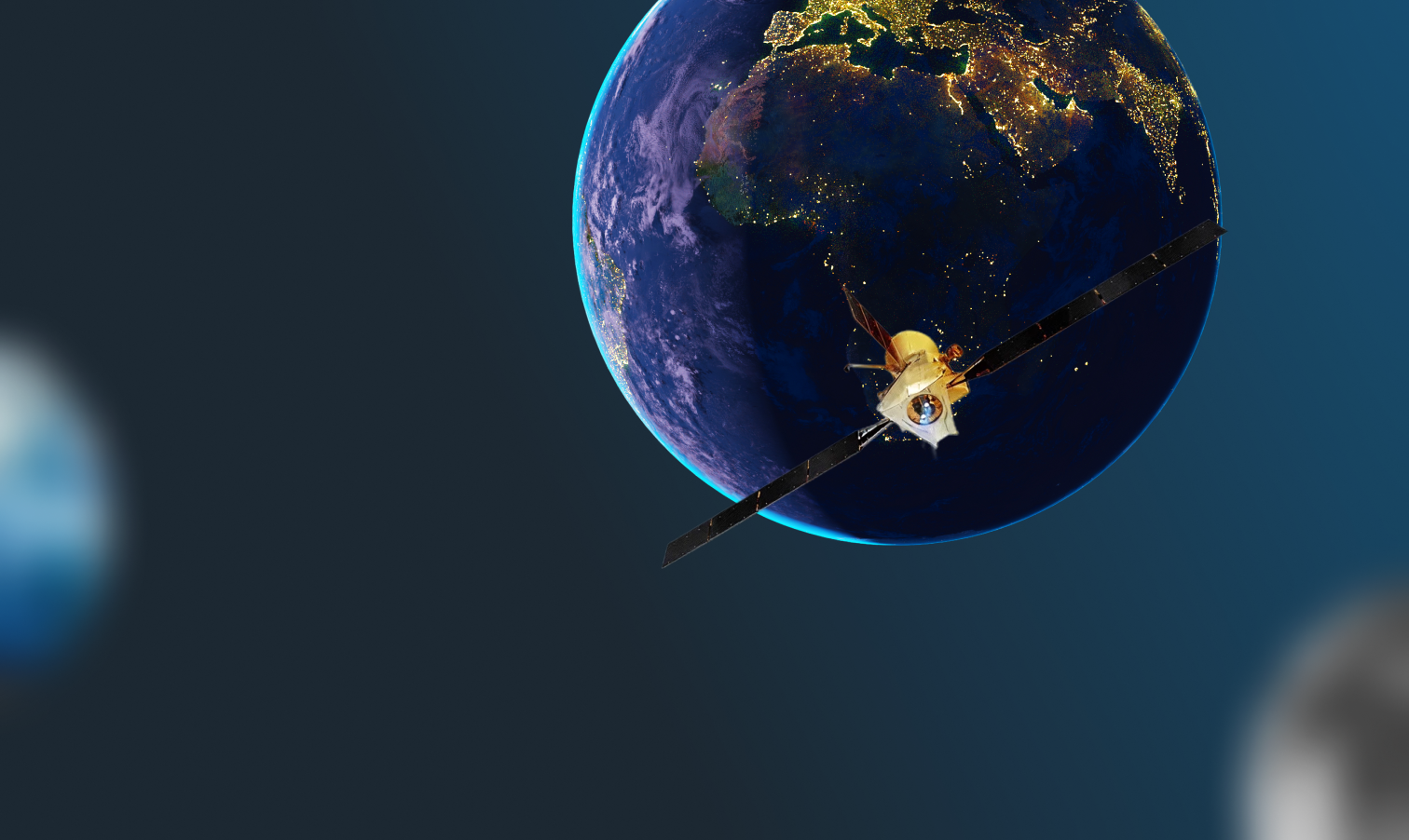
SATNMR African Limited is an indigenous geoscience technology company that specializes in Satellite Remote Sensing using Nuclear Magnetic Resonance Technology (NMRT), integrated with Geographic Information Systems (GIS) and advanced data analytics. We provide cutting-edge solutions that enable governments, mining companies, oil and gas explorers, and agro-allied businesses to de-risk exploration projects, enhance resource development, and achieve sustainable growth.
At SATNMR, our core values guide every action and decision we make, reflecting our unwavering commitment to trust, precision, and meaningful impact.
Ethical, transparent practices in all operations.
Delivering world-class technical quality.
Balancing exploration success with environmental and social responsibility.
Combining frontier physics with data science.
Ethical, transparent practices in all operations.
Building lasting partnerships with clients, governments, and communities.

The Potential for
The Potential for New Discoveries
is Limitless
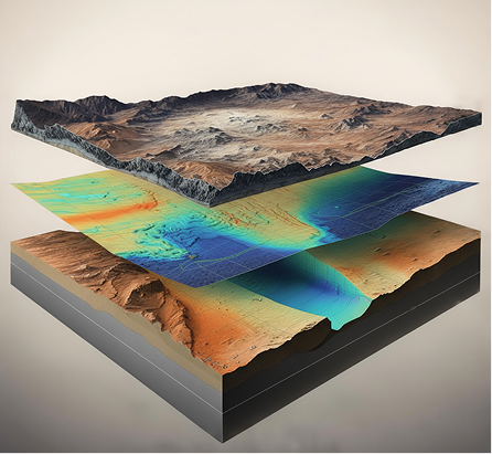
SATNMR can be positioned to scan any location on Earth, analyzing surface signatures and mineral indicators with unmatched precision. Whether you’re planning a mining project, water assessment, or energy development, we can quickly identify and map the resources available at your targeted site. This means you get trusted, actionable insights about what’s beneath the surface - anywhere you want to explore - helping you make confident decisions faster and reduce costly guesswork.
Find The
Find The Right Services
Explore specialized services that match your exploration goals - from mineral targeting and groundwater mapping to infrastructure risk assessment - backed by Nuclear Magnetic Resonance Technology, and geospatial intelligence unique to each project’s needs.
We combine NMR measurements (for fluid/structure indicators) with multi-spectral satellite data, terrain models, and historical geology.
Integrate NMR indications, satellite change detection, and terrain analytics into engineering-grade GIS layers.
NMR insights + satellite anomaly analysis + basin geology in GIS, aligned to exploration stages.
Our Positioning Statement